Donate to WeatherGraphy™

Saturday, February 23, 2019

Moderate Risk for Severe Weather

The Storm Prediction Center has issued a Moderate Risk for widespread severe thunderstorms with all modes possible for Today. Specifically for portions of MS, TN, & AL. Elsewhere isolated strong to severe storms are possible with all modes in yellow, orange, and green. Now is a good time to practice your severe weather safety drills and have a good source of notification in case warnings are issued for your location. The Ohio Valley, Tennessee Valley, and lower Mississippi Valley are included.
This is the Categorical Outlook.

Here is the Tornado Threat:
Some of these tornadoes have the potential to be intense across the Mississippi Valley. The best time for tornadoes will be from 2pm to 8pm CST.

Here is the Damaging Wind Threat:
Here is the Hail Threat:

Please refer to your local Meteorologists & National Weather Service for immediate Watches or Warnings.


Wednesday, February 20, 2019

Flood Warning

Flood Warning in effect for the Rolling Fork River!

...The National Weather Service In Louisville Ky Has Issued A Flood Warning For The Following Rivers In Kentucky...
Rolling Fork River Near Boston Affecting The Following Counties In Kentucky...Hardin...Nelson.
.Heavy Rain Over The Last Several Hours Will Cause The River To Rise.
The National Weather Service In Louisville Ky Has Issued A
* Flood Warning For The Rolling Fork River Near Boston.
* From Thursday Afternoon To Sunday Evening.
* At  9:30 Pm Wednesday The Stage Was 31.6 Feet.
* Flood Stage Is 35.0 Feet.
* Minor Flooding Is Forecast.
* Forecast...Rise Above Flood Stage By Thursday Afternoon And Continue To Rise To Near 36.2 Feet By Friday Morning.
* Impact...At 35.0 Feet...Agricultural Bottomland Is Covered.
* Flood History...This Crest Compares To A Previous Crest Of 36.2
Feet On Jan 25 2006.
&&

Sunday, February 17, 2019

Moderate Flooding Threat.


Here is the hydrological outlook from the National Weather Service in Louisville.

...Heavy Rain And Flooding Likely Beginning Tuesday Night In Central Kentucky...Repeated Periods Of Rainfall Are Expected Tuesday Night Through Sunday Across Portions Of Central Kentucky As Multiple Waves Move Along A Stalled Front. By Next Sunday Widespread Rainfall Totals Of 3 To 6 Inches Are Expected Across The Commonwealth, With Up To
8 Inches Possible In Southern Kentucky.
The First Wave Of Heavy Rain Is Expected Tuesday Night And Wednesday. Widespread 2 To 3 Inch Rainfall Over South-Central Kentucky Will Result In Areal Flooding, With Additional Rises Likely Along The Green, Barren, Kentucky, And Cumberland Rivers.
Additional Waves Of Rain Are Likely Friday Through The Weekend.
Given The Already Saturated Ground And Elevated River Levels,
Which Will Be Enhanced By The Midweek Rains, Any Of These Waves Could Produce Enough Rain To Result In Localized Flooding And Further Aggravate River Flooding.
Confidence Is High That Widespread Heavy Rain Will Fall Across Kentucky In The Coming Week, And Will Result In Areal And River Flooding. Rises On The Green, Barren, Kentucky, And Cumberland Rivers Are Likely. Beyond Wednesday, The Timing And Placement Of Heavy Rain Is Less Certain, Making It More Difficult To Determine The Severity Of Any Flooding Or The Extent That Other Basins Will Be Affected. Anyone With Interests Along Any Area Rivers Should Stay Up To Date On The Latest Forecasts.

Thursday, February 14, 2019

Light Accumulating Snow

The National Weather Service in Louisville has issued a Winter Weather Advisory for 1-2" inches of snow accumulating Friday night through Saturday morning.
Purple: Winter Weather Advisory
Green: Flood Warnings. 
Brown: Wind Advisory.
note: some of these alerts are overlapping each other.

WINTER WEATHER ADVISORY IN EFFECT FROM 6 PM EST /5 PM CST/ FRIDAY TO 7 AM EST /6 AM CST/ SATURDAY... * WHAT...Minor snow accumulations of 1 to 2 inches along and north of the Western Kentucky and Bluegrass Parkways. Minor ice accumulations less than a tenth of an inch south of I-64. * WHERE...Southern Indiana and most of central Kentucky. * WHEN...Snow begins Friday evening. Best time for accumulating snow late evening. Changeover to freezing drizzle after midnight. * ADDITIONAL DETAILS...Plan on slippery road conditions. The hazardous conditions could impact the evening commute west of Interstate 65.


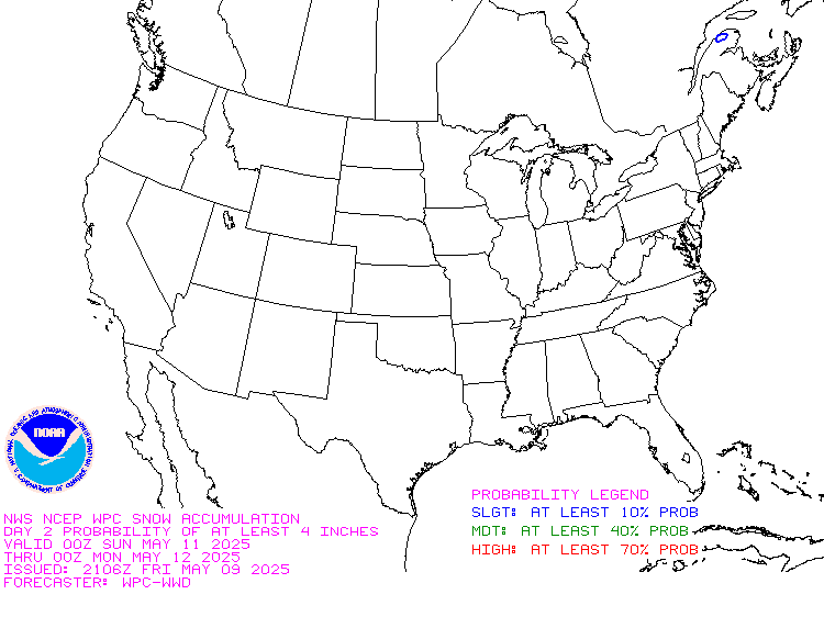
The Winter Prediction Center has a slight 10% chance for snow accumulating up to 4"
across Kentucky.

Thursday, February 7, 2019

Strong/Severe Thunderstorms & Flooding.


Showers remain on and off this morning as a line of strong to severe thunderstorms are approaching from the West pushing East. Timing should be around late afternoon and evening. 

Here is the NWS Storm Prediction Center's Severe Weather risks by hazard:


Tornado Threat

Wind Threat

Flood Threat 


Reminder: Please check with your local Meteorologists and National Weather Service for Warnings. 


Monday, February 4, 2019

Heavy Rain, Flood Threat

The National Weather Service In Louisville Has Issued A
* Flood Watch For Portions Of Indiana And Kentucky, Including The Following Areas, In Indiana, Clark, Crawford, Dubois,
Floyd, Harrison, Jefferson, Orange, Perry, Scott, And Washington. In Kentucky, Anderson, Bourbon, Boyle,
Breckinridge, Bullitt, Butler, Casey, Clark, Edmonson,
Fayette, Franklin, Garrard, Grayson, Green, Hancock, Hardin,
Harrison, Hart, Henry, Jefferson, Jessamine, Larue, Lincoln,
Logan, Madison, Marion, Meade, Mercer, Nelson, Nicholas, Ohio,
Oldham, Scott, Shelby, Spencer, Taylor, Trimble, Warren,
Washington, And Woodford.
* From Wednesday Evening Through Late Thursday Night
* Moderate To Heavy Rainfall Is Expected To Produce 2 To 4 Inches Of Rain With Locally Higher Amounts Possible.
* Minor Flooding Is Likely, Including The Possibility For Significant Ponding Of Water On Roadways. Expect Water Issues In Low Lying And Poor Drainage Areas. Some Smaller Creeks And Streams Will Likely See Quick Rises. Longer Duration River Flooding Is Likely To Continue Into Next Week.