Two strong to severe MCS's now moving into Kentucky.

Radarscope
Live Radar from Accuweather
refresh the page to update radar.

Severe Thunderstorm Watch,
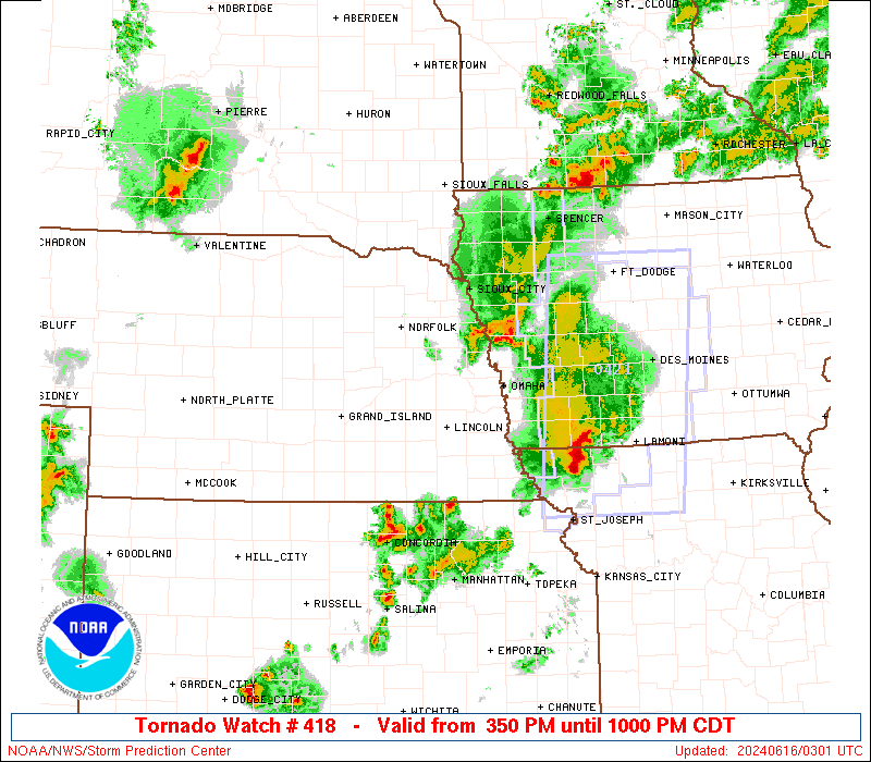
Severe Thunderstorm Watch 418
A Flash Flood Watch has been issued for Central Kentucky

The Storm Prediction Center has an Enhanced Risk for Eastern Kansas, Missouri, Illinois, Western Indiana, South Eastern Iowa, Western Kentucky. A Slight Risk for Missouri, Illinois, West Central Kentucky, Tennessee, and a Marginal Risk for many other locations in dark green.
| < Previous WW |
| |||||||||||||||
A Flash Flood Watch has been issued for Central Kentucky

A Severe Thunderstorm Watch has been issued for ongoing storms in Missouri crossing into Illinois.

Stay tuned to your local National Weather Service and Meteorologists for immediate broadcasts for watches and warnings.
No comments:
Post a Comment