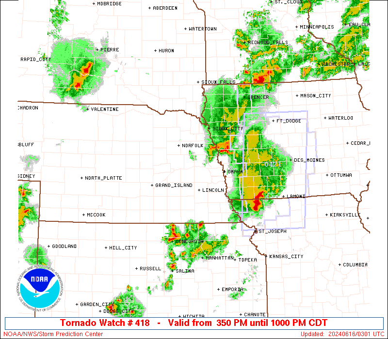
Donate to WeatherGraphy™

Sunday, June 23, 2019

Severe Thunderstorms Moving Through


Current Radar

Ongoing  Tornado warnings for straight line winds and tornado threats in Western Kentucky. These storms have a history of producing tornadoes, and will move East into portions of South Central Kentucky tonight. Severe Thunderstorm Warnings In yellow polygons for damaging winds, hail, and perhaps a tornado.

Below all warnings have expired.

SEVERE THUNDERSTORM WATCH 435, PREVIOUSLY IN EFFECT UNTIL 8 PM
EDT /7 PM CDT/ THIS EVENING, IS NOW IN EFFECT UNTIL 1 AM EDT
/MIDNIGHT CDT/ MONDAY


Severe Thunderstorm Watch 435
< Previous WW
|||||
WW0435 Radar
HazardTornadoesEF2+ Tornadoes
LikelihoodVery LowVery Low
Severe Wind65 kt+ Wind
ModerateLow
Severe Hail2"+ Hail
ModerateLow

Note:  The expiration time in the watch graphic is amended if the watch is replaced, cancelled or extended.
Note: Click for Watch Status Reports.
   SEL5

   URGENT - IMMEDIATE BROADCAST REQUESTED
   Severe Thunderstorm Watch Number 435
   NWS Storm Prediction Center Norman OK
   305 PM EDT Sun Jun 23 2019

   The NWS Storm Prediction Center has issued a

   * Severe Thunderstorm Watch for portions of 
     Central Kentucky

   * Effective this Sunday afternoon and evening from 305 PM until
     800 PM EDT.

   * Primary threats include...
     Scattered damaging wind gusts to 70 mph possible
     Scattered large hail events to 1.5 inches in diameter possible

The Storm Prediction Center has placed a Slight Risk over Portions of Western and Central Kentucky with a Marginal Risk for almost the entire state except for extreme Eastern Kentucky.

An Enhanced Risk for Severe Weather for E Texas, SE Oklahoma, and West Central Arkansas. There is a Significant hail threat here along with a 2-5% chance for a tornado.

Timing for storms will be later this afternoon and evening bringing with it a renewed threat for flash flooding from previous heavy rain from thunderstorms.

Radar from Accuweather.com
refresh the page to update radar.

Friday, June 21, 2019

Severe Weather In Kentucky

June 21, 2019

Here are some photos that I took of the Shelf Cloud associated with a severe thunderstorm as it moved across Central Kentucky about 20 minutes ago. I'll have more pictures and a couple video clips posted later, so feel free to check back. 


Evening/Overnight SVR Wx Threat

There is a MCS currently ongoing across Missouri and Illinois, these severe and tornadic storms will begin to dive south towards Western and Central Kentucky by evening and continue through the overnight hours with multiple rounds of storms possible.

Two strong to severe MCS's now moving into Kentucky.
Radarscope

Live Radar from Accuweather
refresh the page to update radar.

Severe Thunderstorm Watch,

              Severe Thunderstorm Watch 418
< Previous WW
||||||


A Flash Flood Watch has been issued for Central Kentucky

The Storm Prediction Center has an Enhanced Risk for Eastern Kansas, Missouri, Illinois, Western Indiana, South Eastern Iowa, Western Kentucky. A Slight Risk for Missouri, Illinois, West Central Kentucky, Tennessee, and a Marginal Risk for many other locations in dark green.

A Severe Thunderstorm Watch has been issued for ongoing storms in Missouri crossing into Illinois.


Stay tuned to your local National Weather Service and Meteorologists for immediate broadcasts for watches and warnings.

Monday, June 17, 2019

Showers and Thunderstorms.

  6:36 pm update
             Severe Thunderstorm Watch 403
|
|||
WW0403 Radar
HazardTornadoesEF2+ Tornadoes
LikelihoodLowVery Low
Severe Wind65 kt+ Wind
ModerateLow
Severe Hail2"+ Hail
LowLow

Note:  The expiration time in the watch graphic is amended if the watch is replaced, cancelled or extended.
Note: Click for Watch Status Reports.
   SEL3

   URGENT - IMMEDIATE BROADCAST REQUESTED
   Severe Thunderstorm Watch Number 403
   NWS Storm Prediction Center Norman OK
   630 PM EDT Wed Jun 19 2019

   The NWS Storm Prediction Center has issued a

   * Severe Thunderstorm Watch for portions of 
     Central and eastern Kentucky
     Middle to northeastern Tennessee

   * Effective this Wednesday night and Thursday morning from 630 PM
     until 200 AM EDT.

   * Primary threats include...
     Scattered damaging wind gusts to 70 mph possible
     Isolated large hail events to 1.5 inches in diameter possible.

      
3 pm update.
                  Severe Thunderstorm Watch 400
|||||
WW0400 Radar
HazardTornadoesEF2+ Tornadoes
LikelihoodLowVery Low
Severe Wind65 kt+ Wind
ModerateLow
Severe Hail2"+ Hail
ModerateLow

Note:  The expiration time in the watch graphic is amended if the watch is replaced, cancelled or extended.
Note: Click for Watch Status Reports.
   SEL0

   URGENT - IMMEDIATE BROADCAST REQUESTED
   Severe Thunderstorm Watch Number 400
   NWS Storm Prediction Center Norman OK
   210 PM CDT Wed Jun 19 2019

   The NWS Storm Prediction Center has issued a

   * Severe Thunderstorm Watch for portions of 
     Northeast Arkansas
     Southern Illinois
     Southwest Indiana
     Western Kentucky
     Southeast Missouri
     Northwest Tennessee

   * Effective this Wednesday afternoon and evening from 210 PM
     until 900 PM CDT.

   * Primary threats include...
     Scattered damaging wind gusts to 70 mph possible
     Isolated large hail events to 1.5 inches in diameter possible
     A tornado or two possible.


The Storm Prediction Center has a Slight Risk for Western and Central Kentucky in yellow and a Marginal Risk in dark green for the entire state. Damaging winds, lighting, heavy rain, and perhaps some hail will be the main severe weather threats.


There is an Enhanced Risk for severe weather for portions of Texas, Louisiana, and Arkansas.

The tornado threat is on the low end, but non zero at 2-5%. Now in the orange Enhanced Risk area, the tornado threat is 10%. Large hail and damaging winds is a significant threat there as well.

Timing: This afternoon and evening 3-9 pm.

Stay tuned for possible watches and warnings from your local Meteorologists.

Tropics,

Tropical Outlook for the Gulf and Atlantic over the next five days: Good, No Development.

Saturday, June 15, 2019

Strong Thunderstorms Today

.
USA.gov is the U.S. Government's official Web portal to all Federal, state and local government Web resources and services.

Severe Thunderstorm Watch 388
< Previous WW
 ||||| 
WW0388 Radar
HazardTornadoesEF2+ Tornadoes
LikelihoodLowVery Low
Severe Wind65 kt+ Wind
ModerateLow
Severe Hail2"+ Hail
LowLow

Note:  The expiration time in the watch graphic is amended if the watch is replaced, cancelled or extended.
Note: Click for Watch Status Reports.
   SEL8

   URGENT - IMMEDIATE BROADCAST REQUESTED
   Severe Thunderstorm Watch Number 388
   NWS Storm Prediction Center Norman OK
   205 PM CDT Sun Jun 16 2019

   The NWS Storm Prediction Center has issued a

   * Severe Thunderstorm Watch for portions of 
     Southern Illinois
     Southern Indiana
     Kentucky
     Southeast Missouri
     Southwest Ohio

   * Effective this Sunday afternoon and evening from 205 PM until
     1000 PM CDT.

   * Primary threats include...
     Scattered damaging wind gusts to 70 mph possible
     Isolated large hail events to 1.5 inches in diameter possible
     A tornado or two possible 
The Storm Prediction Center has placed an enhanced risk in orange, a slight risk for places in yellow, and a marginal risk for locations in dark green.


Severe Weather Probabilistic

Tornado Threat

Wind Threat  

Hail Threat 

Marginal Risk for Monday & Tuesday also.


Stay tuned to your local National Weather Service and Meteorologists for immediate broadcasts for severe weather alerts.

Announcement

Good morning everybody. Before we get started with the weather today I have a little announcement.


It can be required by law to announce that I have partnered WeatherGraphy.com with Sovrn Commerce Affiliate Marketing & Merchants. I'll be modeling & promoting some of the following ads

Cameras, Photography, Clothing, Travel, Events, Cars, Food, and more on all of my platforms. The links I share, you can buy the products and I'll earn commission, thanks for the support all over the Globe & I'm excited for this journey!
 ðŸ˜Š❤

Monday, June 10, 2019

Pileus Cloud and Blossoming Cumulus

I couldn't help sharing photography of yesterdays clouds during thunderstorm development yesterday afternoon.


Developing Cumulus
Photograph By Me
NIKON 

Pileus Clouds
Photography By Me
NIKON

My eyes always gravitate to these type of clouds as they are so beautiful as they perch on top of the cumulus clouds. They are so smooth and arch in an upward angle, these clouds develop during strong updrafts and only last a few seconds to a few minutes at a time.

I'm attempting to partner with an Affiliate Program and earn revenue for referrals to bring you all more content.

https://www.viglink.com/?vgref=364782