.
|
|
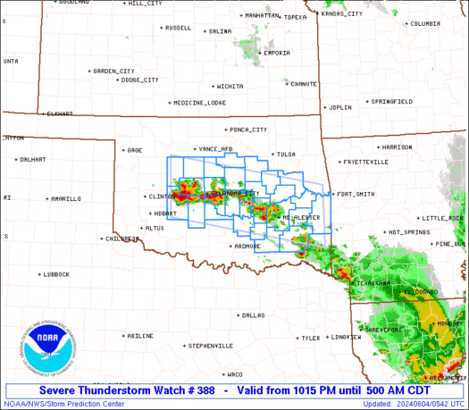
Severe Thunderstorm Watch 388
|
|
 Note: The expiration time in the watch graphic is amended if the watch is replaced, cancelled or extended.Note:
 Click for Watch Status Reports. SEL8
URGENT - IMMEDIATE BROADCAST REQUESTED
Severe Thunderstorm Watch Number 388
NWS Storm Prediction Center Norman OK
205 PM CDT Sun Jun 16 2019
The NWS Storm Prediction Center has issued a
* Severe Thunderstorm Watch for portions of
Southern Illinois
Southern Indiana
Kentucky
Southeast Missouri
Southwest Ohio
* Effective this Sunday afternoon and evening from 205 PM until
1000 PM CDT.
* Primary threats include...
Scattered damaging wind gusts to 70 mph possible
Isolated large hail events to 1.5 inches in diameter possible
A tornado or two possible
|
|
|
The Storm Prediction Center has placed an enhanced risk in orange, a slight risk for places in yellow, and a marginal risk for locations in dark green.
Severe
Weather Probabilistic
Tornado Threat
Marginal Risk for Monday & Tuesday also.
Stay tuned to your local National Weather Service and Meteorologists for immediate broadcasts for severe weather alerts.


No comments:
Post a Comment