Tornado Watch #35
* Tornado Watch for portions of
Northern Arkansas Southern Illinois Southwestern Indiana Western Kentucky Southeastern Missouri Northwestern Tennessee
* Effective this Monday afternoon and Tuesday morning from 520 PM until 100 AM CST. * Primary threats include... A couple tornadoes possible Scattered large hail and isolated very large hail events to 2.5 inches in diameter likely Isolated damaging wind gusts to 70 mph possible
The Storm Prediction Center has placed portions of south eastern and central Kentucky in a Marginal Risk.
The best chance for a more wide spread thunderstorm threat will be in portions of Western Kentucky, Southeast Missouri, East Arkansas, West Central Tennessee, North Mississippi.

Tornado Threat, 5% in brown, and 2% in green (bigger circle)

Wind Threat, 15% in yellow, 5% brown.

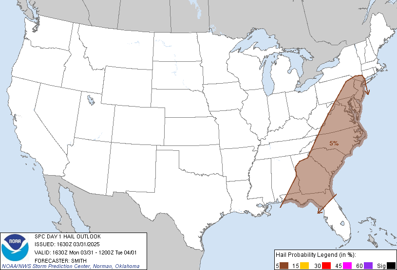
Hail threat, hatched significant circled in the black circle.

Pivotalweather.com
HRRR Model


The chance for thunderstorms begins at 3 pm through 8 am tomorrow.
A few of these storms may be severe, but will mostly be sub severe.
I will keep you updated through the day.
Remembering March 2nd, 2012
Tornado Outbreak
 |
| This is a collage by me, but these pictures were not taken by me and belong to their rightful owners: storm chasers, Meteorologists, and bystanders. |
I know this is an old outdated video, but I made this when I was 14 years old. This was the first tornado outbreak of my career once I became interested in weather. I was very nervous seeing how serious Meteorologists and Storm Chasers was talking about the forecast and looking back, seeing all the ingredients come together makes it that much more scary.

No comments:
Post a Comment