 |
| Weather.gov |
Flash Flood Watch
FLASH FLOOD WATCH IN EFFECT THROUGH MONDAY MORNING...
The National Weather Service in Louisville has issued a
* Flash Flood Watch for portions of Indiana and Kentucky, including the following areas, in Indiana, Perry. In Kentucky, Adair, Boyle, Breckinridge, Bullitt, Butler, Casey, Edmonson, Garrard, Grayson, Green, Hancock, Hardin, Hart, Larue, Lincoln, Madison, Marion, Meade, Mercer, Nelson, Ohio, Russell, Taylor, and Washington.
* Through Monday morning
* A stationary boundary over the region tonight will combine with a tropical airmass to bring some heavy rainfall to the region tonight and continuing into early Monday. Multiple waves of storms will bring area rainfall totals of one to three inches in the flood watch area, but localized amounts of five inches are possible through Monday morning.
A Flash Flood Watch means that conditions may develop that lead to flash flooding. Flash flooding is a very dangerous situation.
You should monitor later forecasts and be prepared to take action should Flash Flood Warnings be issued.
Strong to Severe Storms
The National Weather Service Storm Prediction Center has upgraded portions or Kentucky into a Slight Risk for severe weather tomorrow. Strong to severe Convection may be ongoing in the morning and then clearing out later. During the afternoon and evening hours, additional strong to severe thunderstorms will be possible mainly across Central and Eastern Kentucky.

Here is a low, but non zero tornado threat
5 percent in brown, and 2 percent in green.
For Kentucky, the chance for a brief tornado will be during the afternoon and evening hours on Sunday.

Here is the wind threats; 15 percent Yellow, 5 percent in brown.


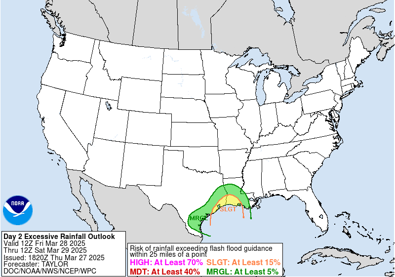
There is also a Slight Risk for flooding as some locations will see repeated rounds of thunderstorms on Saturday and Sunday.
Today
 |
Sunday


No comments:
Post a Comment